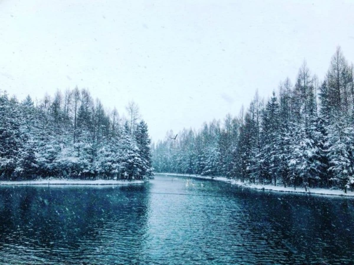
Manistee River trail loop in Manistee National Forest
Paul Austin is a creative director and author who freelances for Thumbwind Publications. His real passion and creative outlet is researching historical sites and people with fascinating stories. You can find most of this work on Michigan4You.
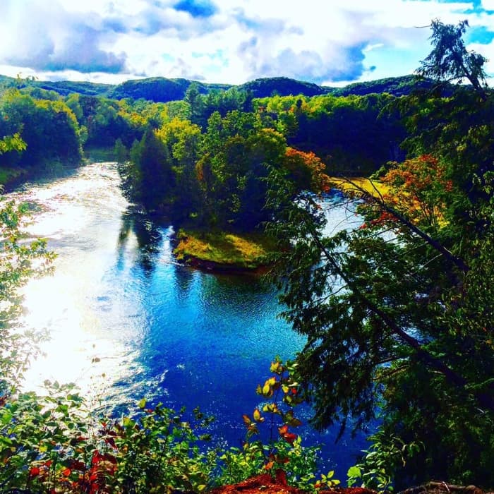
The Manistee River carves a deep, forested valley through northern Michigan’s Lower Peninsula. Between Hodenpyl Dam and Tippy Dam, hikers can follow that valley on the Manistee River Trail (MRT) and North Country Trail (NCT), linking them into a classic backpacking circuit.
Together, the Huron-Manistee National Forests cover nearly 1 million acres on the northern Lower Peninsula; the Manistee National Forest unit alone is a bit over 540,000 acres. Within a half-day’s drive of Detroit, Grand Rapids, Lansing and other cities, this stretch still feels quiet for how accessible it is.
Background

As kids, our family kept a trailer on a small, secluded plot about a quarter-mile from the Pine River near Wellston. This part of the Manistee National Forest became a second home.
From canoeing the Pine River to watching salmon pile up below Tippy Dam, these woods offer more than one article can cover. This piece focuses on the Manistee River Trail / North Country Trail loop because it combines an accessible trail with long river views and plenty of places to camp.
What to know about the loop

Distance and route
Loop distance: About 23 miles for the full MRT–NCT loop.
Manistee River Trail only: Roughly 11 miles between Seaton Creek Campground and Red Bridge.
The MRT generally follows the east side of the river; the NCT runs the west side along higher ridges and older forest roads.
Parking and trailheads
Common access points include:
Red Bridge River Access: Popular southern start/finish with parking near the river and a modern bridge. This site provides direct access to the MRT and connects to Upper River Road Trailhead for NCT access.
Seaton Creek Campground: Northern MRT trailhead with rustic campsites, potable water, vault toilets, and a short connector to the MRT, plus access to the suspension bridge over the river.
Marilla Trailhead (NCT): Access to the NCT portion with a small parking area. Some recent reports mention a modest day-use fee here; check current signage.
Camping
Dispersed camping is allowed across most of the Huron-Manistee National Forests, as long as you follow basic spacing rules and any local closures. In general:
No dispersed camping within 200 feet of rivers, lakes or streams unless a site is clearly signed and developed.
Many rustic sites along the MRT have fire rings and river views. Two popular sites near small waterfalls sit on the MRT side of the loop.
You do not currently need a permit to backpack the MRT/NCT loop or stay at its dispersed sites, but rules can change, so confirm with the Manistee Ranger Station before your trip.
Terrain and difficulty
Guidebooks often rate this loop as moderate. The MRT side rolls up and down more than many Lower Peninsula trails, with sandy hills and bluffs that sit 150–200 feet above the river.
Most hikers can handle the grades with a reasonable pack. The hills trade effort for views—high banks, sweeping bends, and in places a clear look at boats drifting below.
Despite what some maps suggest, this corner of the LP even has waterfalls. Expect a few small cascades near the MRT, including two close to campsites.
Wildlife and fishing
Expect regular wildlife sightings:
White-tailed deer, raccoons, squirrels, herons, eagles, hawks and assorted waterfowl are all common along the river.
After dark, you may hear owls, mice rustling around camp and sometimes coyotes in the distance.
Black bears live in northern Michigan, but encounters in this specific corridor remain uncommon. [Bear activity can change; check recent advisories with the Forest Service.]
For anglers, this stretch of the Manistee is well-regarded:
The river between Hodenpyl Reservoir and Red Bridge is a designated trout stream, with brown, rainbow and brook trout present.
Below Tippy Dam, the river becomes one of Michigan’s better salmon, steelhead and trout fisheries, drawing heavy crowds during fall runs.
On one recent trip, the author caught several rainbow trout right from camp the morning after an overnight, and family trips here have produced brown trout, walleye and smallmouth bass—the bass especially in the lower portion of the hike near Red Bridge.

Dedicated to the late Scott Thompson — I can still hear you yell from your canoe, the “AAAAA-YYYYOOO” roll call echoing down the river.
On the trail

Tippy Dam and the salmon run
In fall, Tippy Dam State Recreation Area becomes a busy stage for the salmon run. When conditions line up, anglers pack the banks below the dam, hoping for Chinook salmon and steelhead.
Even if you are not fishing, it is worth a stop to see the density of fish and people. A Michigan Recreation Passport is typically required for vehicle entry to Tippy Dam State Recreation Area and other state-managed recreation areas.
Fishing below Hodenpyl and on nearby streams
Below Hodenpyl Dam, the Manistee cools and deepens, creating evening and early-morning opportunities for brown and rainbow trout. Slagle Creek, which the loop crosses on its northern end, can hold brook trout in its shaded riffles.
Float trips are also popular:
Hodenpyl Dam to Red Bridge: Often a 4-hour paddle under normal summer flows.
Tippy Dam to High Bridge: Another classic section, typically paddled in roughly four hours depending on conditions.
The nearby Pine River, a designated Wild and Scenic River, offers faster canoeing and kayaking with technical turns and some Class I–II feel in higher water.
Practical trail tips
A few habits make this loop more pleasant, especially if you want a quiet trip:
Hang your food. Raccoons and mice are bold around established camps. Use a proper food hang or bear canister to keep them out of your tent.
Aim for weekdays. Summer weekends can fill popular river-view sites. Weekdays or shoulder seasons offer more solitude.
Dog-friendly, with caveats. Dogs are allowed on leash. Make sure they can handle bluffs, sand and occasional steep, eroded sections.
Day hikes are easy. Access points along the south part of the loop—especially Slagle Creek Road—let you do out-and-back day hikes without committing to the full 23 miles.
Mushrooming and other side pursuits
In fall, you can find several edible mushroom species in these woods. The author especially notes coral mushrooms scattered throughout the area.
Never eat a wild mushroom unless you are completely confident in your identification or have it confirmed by an expert; misidentification can be dangerous.
Dublin General Store stop
Dublin General Store in Wellston has long been a pre-hike ritual stop for many Manistee regulars. It’s a combined grocery, hardware and jerky shop, with a wall of in-house jerky and basic camping supplies if you forgot something.
Quotes from the valley
“Some people can go right past a place like this without even noticing nature’s beauty. In a rush with what life has waiting next for them … I feel bad for those people.”
— Grandpa Raulin, on a slow golf-cart ride conversation“The human spirit needs place where nature has not been rearranged by the hand of man.”
— Unknown
Before you go
Land manager and setting
- The loop lies within the Manistee National Forest unit of the Huron-Manistee National Forests, managed by the U.S. Forest Service.
Permits, passes and fees
(Subject to change; confirm with the Manistee Ranger Station or official websites before visiting.)
No backcountry permit is currently required to hike or camp along the MRT/NCT loop itself.
Dispersed camping is allowed but must be at least 200 feet from water and away from trail and road edges, unless you are in a clearly developed site.
Parking has historically been free at Red Bridge and some other access points, with small day-use fees at Seaton Creek and occasionally Marilla Trailhead. [Fees change often; check signs or the Forest Service website for current rates.]
Tippy Dam State Recreation Area and other Michigan state recreation areas usually require a Michigan Recreation Passport for motorized vehicle entry, plus separate camping fees at the Tippy Dam campground.
Trail and bridge status
- As of early 2025, the “Little Mac” (Hodenpyl) suspension bridge—key to completing the classic 23-mile loop—has been closed to pedestrians for construction and remains closed “until further notice.” This disrupts the standard loop; hikers may need to do out-and-back routes from each side instead. Always confirm current status with the Forest Service before planning a loop.
Season and conditions
Spring can bring high water, mud and cool nights.
Summer offers long days and a busy river; expect more bugs and heavier use.
Early to mid-October is a popular window for fall color, though exact timing varies by year and weather; check local reports for peak color updates.
Safety and Leave No Trace
Treat all water before drinking.
Pack out all trash, including food scraps and fishing line.
Respect private land inholdings and posted closures within the national forest’s patchwork boundaries.
Follow current fire restrictions; small campfires are often allowed in existing rings but may be banned during dry periods.